Meteorological Organisation
World Meteorological Organisation (WMO)
- World Meteorological Organisation (WMO) is a part of the United Nations Organisation that facilitates worldwide cooperation in consultation with the International Civil Aviation Organisation (ICAO).
- World Weather Watch (WWW) coordinates using:
- Global Observing System (GOS)
- Global Telecommunication System (GTS)
- Global Data Processing System (GDPS)
- World Area Forecast System (WAFS) centres are located in London and Washington with 19 regional centres.
- RWAFC, New Delhi provides global aeronautical en-route weather forecasts to meteorological offices.
- WAFC prepares digital and gridded global forecasts four times daily and issues them within 6 hours of origin.
- Forecasts contain:
- Upper Winds
- Temperature
- Humidity
- Maximum Wind
- Icing
- Turbulence
- Cumulonimbus (CB) Clouds
- Flight Level and Tropopause Temperature
- WAFC also prepares SIGWX forecasts for radioactive material release and volcanic activity.
India Meteorological Department (IMD)
- IMD has six Regional Meteorological Offices located at:
- Delhi
- Mumbai
- Kolkata
- Chennai
- Guwahati
- Nagpur
- IMD Websites:
- https://mausam.imd.gov.in
- https://imd.gov.in
- Meteorological Watch Offices (MWO) at Delhi, Mumbai, Kolkata, and Chennai provide meteorological services to their respective Flight Information Regions (FIR) and issue SIGMET.
- Tropical Cyclone Advisory Centres (TCAC) monitor tropical cyclones and issue advisories on position, movement, pressure, and wind.
- Aerodrome Meteorological Offices (AMO) are located at major airports and provide 24-hour weather watch.
- AMOs issue:
- METAR
- SPECI
- RVR
- Weather Forecast
- TAF
- Landing Forecast
- Aerodrome Warning
- Briefing
- VOLMET
- ATIS
- Radar Images
- Satellite Images
- Aeronautical Meteorological Stations (AMS) observe current weather and provide aeronautical forecasts during watch hours.
Meteorological Briefing
Notice Period for National Flights
- AMO: 3 hours notice.
- AMS: 18–24 hours notice.
Notice Period for International Flights
- New Delhi, Kolkata, Mumbai, Chennai, Nagpur, Banaras, Guwahati, Hyderabad, and Thiruvananthapuram: 3 hours notice.
- Other AMOs: 12 hours notice.
- AMS: 18–24 hours notice.
Online Briefing System (OLBS)
AMOs provide an Online Briefing System (OLBS) consisting of:
- Wind and Temperature (FL50 to FL530)
- TAF (9 HR and 30 HR)
- National and WAFC SIGWX Charts
- METAR of major airports
- Satellite Imagery
- Radar Products
- Synoptic Features
- Route Forecast (T3 Format) for low-level flights
- Local and Area Forecasts for airports in FIR
- Take-off Data
- SIGMET Warnings
Exchange of Meteorological Messages
- VOLMET – Meteorological information for aircraft in flight.
- D-VOLMET – Data Link VOLMET providing METAR, SPECI, TAF (9 HR), SIGMET, and AIRMET.
- VOLMET Broadcast – Continuous broadcast of METAR, SPECI, TAF (9 HR), and SIGMET on VOLMET HF.
- Broadcasts are made from Mumbai and Kolkata every 30 minutes.
- ROBEX – Routine OPMET bulletin exchange for METAR, SPECI, and AIREP of international and alternate aerodromes outside India.
- ATIS – Automatic Terminal Information System continuously broadcasting current weather information every half hour.
- Current Weather Displays are computer-based systems used inside Meteorological Offices and ATC.
Meteorological Instruments
- Surface Pressure (hPa, mb, inHg): Mercury Barometer, Aneroid Barometer, Barograph
- Upper Air Pressure: Radiosonde, Dropsonde
- Air Temperature (°C): Mercury or Alcohol Thermometer
- Dew Point: Dry and Wet Bulb Thermometer
- Relative Humidity (%): Dry and Wet Bulb, Hygrometer, Psychrometer
- Humidity Mixing Ratio (g/kg): Hygrograph
- Precipitation: Rain Gauge, Snow Gauge, Hyetograph
- Wind: Wind Vane, Anemometer
- Upper-Level Wind: Optical Theodolite, Pilot Balloon, RAWIN
- Cloud Base: Searchlight, Laser Ceilometer, Balloon, Nephoscope, Alidade
- Visibility: AVRA, Transmissometer, Scopograph, Forward Scatterometer
- Cloud Observation: Weather Satellites, Radar
Pre-Flight Meteorological Briefing
- Pre-flight meteorological briefing provides written, printed, and digital weather information up to 3 hours before departure.
- Includes:
- Upper Winds
- Temperature
- Maximum Wind
- Jet Stream
- Tropopause Height
- Oral briefing is provided when the required notice period is inadequate.
- Notice period:
- AMO: 3 hours
- AMS: 12 hours
- Reports: METAR, SPECI, TREND, AIREP, SIGMET, VA
- Forecasts: En-route Weather, TAF, Take-off Forecast, Wind Shear Warning
- Charts: SIGWX Charts
- Imagery: Satellite and Ground Radar
- Low-level flight briefing (up to FL100, FL150 in mountainous regions) includes:
- Poor Visibility (<5000 m)
- Clouds affecting flight
- SIGMET/AIRMET information
Meteorological Briefing Documentation
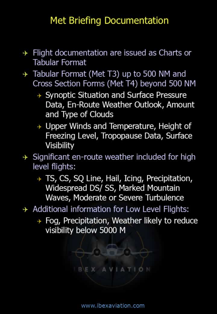
- Flight documentation is issued in Chart or Tabular format.
- Tabular Format (MET T3) for routes up to 500 NM.
- Cross Section Format (MET T4) for routes beyond 500 NM.
- Documentation includes:
- Synoptic Situation
- Surface Pressure Data
- En-route Weather Outlook
- Cloud Amount and Type
- Upper Winds and Temperature
- Freezing Level
- Tropopause Data
- Surface Visibility
- Significant En-route Weather (High-Level Flights):
- Thunderstorms (TS)
- Cumulonimbus (CB)
- Squall Line
- Hail
- Icing
- Precipitation
- Widespread Duststorm/Sandstorm (DS/SS)
- Marked Mountain Waves
- Moderate or Severe Turbulence
- Additional Information for Low-Level Flights:
- Fog
- Precipitation
- Weather likely to reduce visibility below 5000 m