Oblique Mercator Projection
The Oblique Mercator Projection is a cylindrical projection where the cylinder is placed at an angle to the Earth’s axis. It is used for mapping regions that extend diagonally or along a great-circle route. It provides accurate representation of direction and shape along the chosen oblique path.
Introduction to the Oblique Mercator Projection
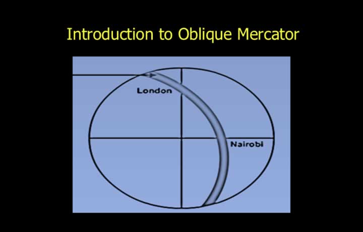
- An oblique great circle, known as the datum great circle or false equator, is used as the line of tangency instead of the equator.
- The Oblique Mercator projection is particularly useful for flights following a specified great circle route.
- Scale remains within an error of 1% for approximately 480 NM on either side of the datum great circle.
Scale Expansion in an Oblique Mercator Projection
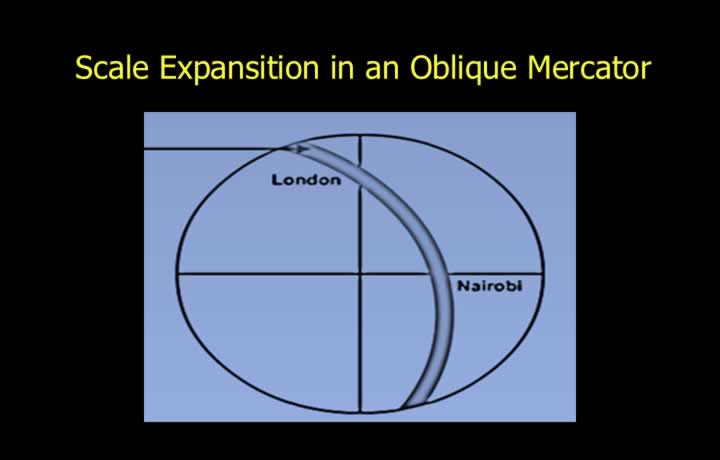
- Scale expansion is proportional to the secant of the angular distance from the datum great circle.
- The Oblique Mercator is an orthomorphic (conformal) projection.
- Scale expands equally in all directions around any point.
- Meridians and parallels intersect at right angles.
Properties of the Oblique Mercator Projection
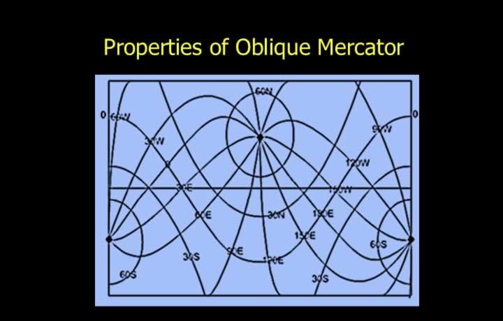
- Meridians and parallels are represented as complex curves.
- They intersect each other at right angles, preserving angles and bearings.
- The projection is orthomorphic because it satisfies the two conditions for conformality:
- Equal scale expansion in all directions.
- Meridians and parallels intersect at right angles.
Chart Convergence in an Oblique Mercator Projection
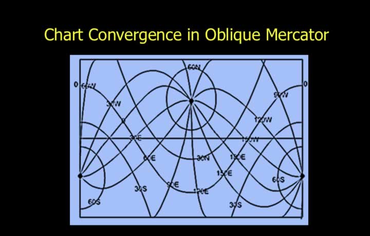
- Chart convergence is equal to Earth convergence only at three locations:
- The poles.
- The equator.
- The datum great circle (false equator).
- Elsewhere, chart convergence differs from Earth convergence.
Great Circles and Rhumb Lines
- Most great circles and rhumb lines are represented as complex curves.
- The datum great circle (false equator), being the line of tangency, is represented as a straight line.