
Departure
Departure is the east-west distance between two points measured along the same latitude on the Earth’s surface. It represents the difference in longitude between the two points. Departure decreases as latitude increases because meridians become closer near the poles. It is used in aviation navigation to calculate positions and track corrections.
Introduction
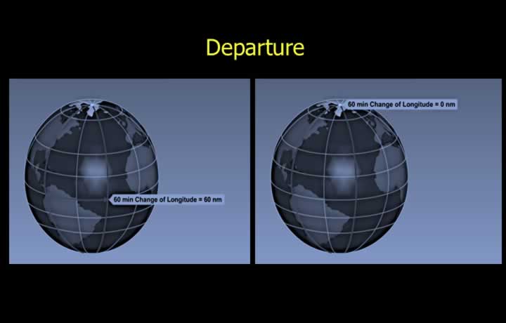
- One minute of latitude is equal to one nautical mile along all meridians.
- Along the equator, one minute of longitude is equal to one nautical mile.
- This rule does not apply to the distance between meridians at other latitudes.
- The distance between meridians is maximum at the equator.
- At the poles, the distance between meridians reduces to zero.
Rhumb Line Distance
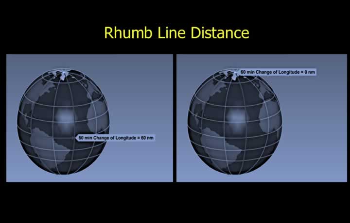
- Departure is the distance between two meridians measured along a given parallel of latitude.
- Since parallels of latitude are rhumb lines, departure is a rhumb line distance.
- Rhumb lines do not represent the shortest distance between two points.
- Departure is measured either in nautical miles (NM) or in kilometres (km).
Departure Follows Cosine Curve
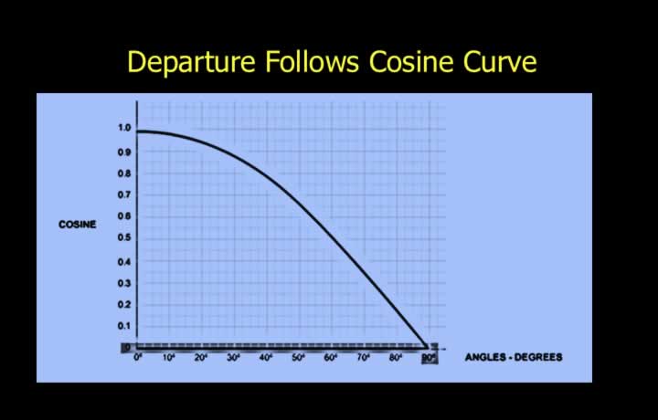
- Departure follows the cosine curve of latitude.
- At the equator, departure is maximum and is equal to the change in minutes of longitude.
- At the poles, departure is minimum and is equal to zero.
Calculation of Departure
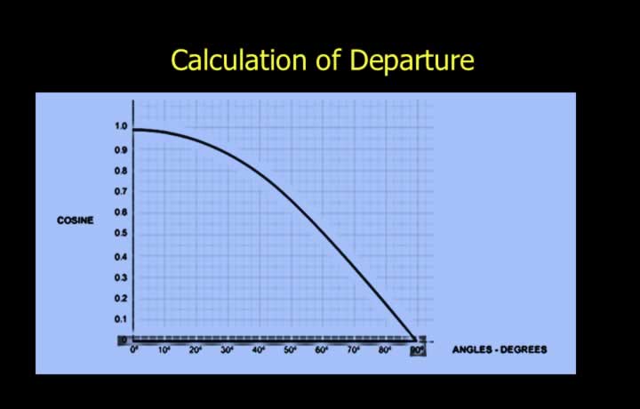
The formula for calculating departure (in nautical miles) is:
Departure = Change in Longitude (minutes) × cos(Latitude)
- Departure is directly proportional to the cosine of latitude.
- As latitude increases, the cosine value decreases, resulting in a smaller departure.