Measurement of Directions
Direction measurement is essential in aircraft piloting to help pilots navigate accurately from one location to another. It ensures the aircraft follows the correct flight path and avoids collisions with other aircraft or obstacles. It also helps pilots reach their destination safely and efficiently, even in poor weather conditions.Aircraft headings, bearings, and runway numbers are based on these compass directions. A standardised system ensures accurate navigation and safe flight operations worldwide.
Shape of the Earth
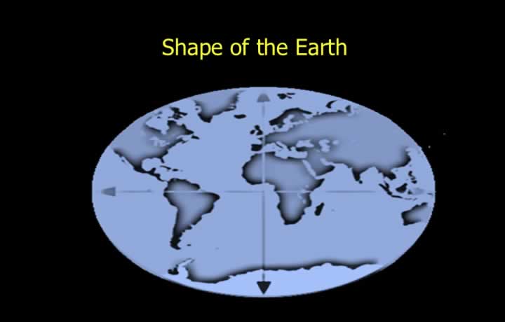
- This shape is called an Oblate Spheroid or Geoid, meaning “Earth-shaped.”
- An Oblate Spheroid can be considered an imperfect sphere.
- It is spherical with slight flattening at the ends of rotation.
- The ends of the rotation (spin) axis are called the Poles.
- The flattening of the Earth at the poles is called Compression.
Compression Ratio
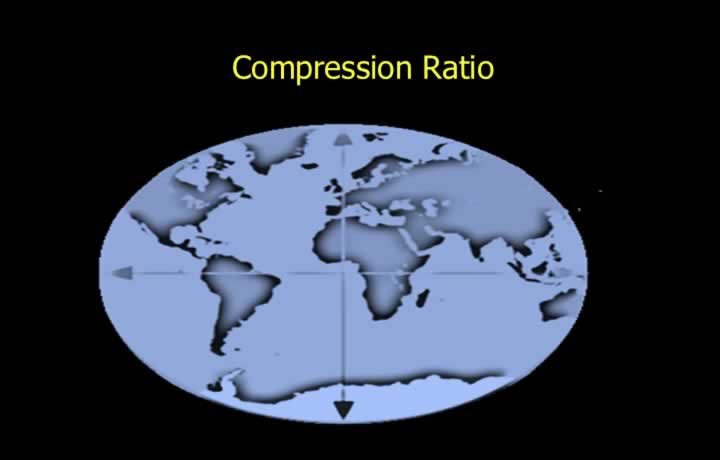
- The difference between the Equatorial and Polar diameters is approximately 43 km (23 NM).
- The compression of the Earth is expressed as the Compression Ratio.
- Formula:
Compression Ratio = (Equatorial Diameter − Polar Diameter) / Equatorial Diameter
- The value of Earth’s compression is approximately 1/300 or 0.3%.
World Geodetic System (WGS 84)
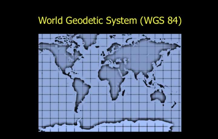
- To create maps and charts, a mathematical model of the Earth is required.
- Previously, different countries used different mathematical models for map preparation.
- These models were optimised for their own geographical regions.
- Such models were unsuitable for worldwide navigation systems.
International Civil Aviation Organisation (ICAO)
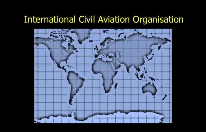
- The International Civil Aviation Organisation (ICAO) standardised the Earth’s mathematical model.
- ICAO adopted the World Geodetic System (WGS 84) as the standard model.
- For navigational calculations, WGS 84 considers the Earth to be a perfect sphere.
- This allows the use of Spherical Trigonometry in navigation.
Spin Axis of the Earth
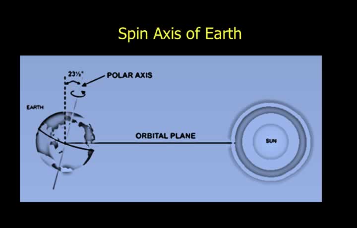
- The Earth rotates about its axis while revolving around the Sun.
- The poles are the extremities of the axis about which the Earth spins.
- The Spin (Polar) Axis is the Earth’s axis of rotation.
- The Orbital Plane is the plane of the Earth’s revolution around the Sun.
- The Earth’s spin axis is tilted at approximately 23.5° to the orbital plane.
Cardinal Directions – East and West
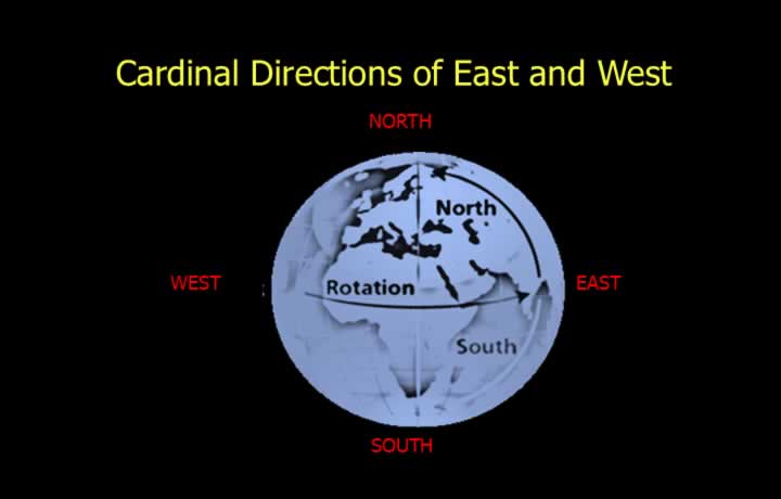
- North, South, East, and West are known as the Cardinal Directions.
- East is the direction toward which the Earth rotates.
- West is the direction from which the Earth rotates.
Cardinal Directions – North and South
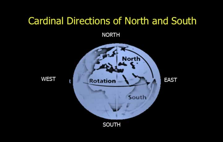
- The Geographical North and South Poles are the two ends of the Earth’s spin axis.
- When viewed from above the North Pole, the Earth appears to rotate anti-clockwise.
- The direction toward the Geographical North Pole is called True North.
- When viewed from above the South Pole, the Earth appears to rotate clockwise.
- The direction toward the Geographical South Pole is called True South.
Quadrantal Directions
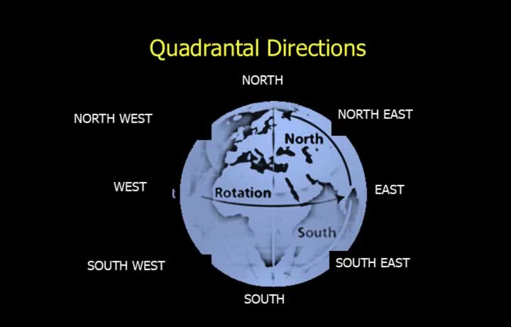
- Quadrantal directions divide the Earth into four quadrants.
- The four quadrantal directions are:
- North-East (NE)
- South-East (SE)
- North-West (NW)
- South-West (SW)
Sexagesimal System
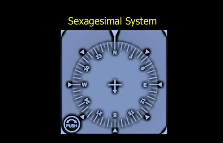
- Directions used in aviation are measured using the Sexagesimal System.
- Sexagesimal means counting in multiples of 60.
- Directions are measured in degrees clockwise from True North.
- The direction toward the Geographic North Pole is known as True North.
- True North is used as the datum (reference) for measuring true directions.
Directions in the Sexagesimal System
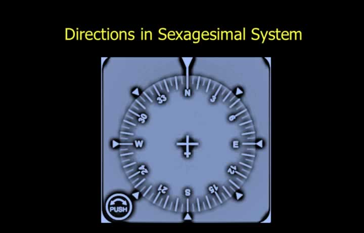
- Directions are written using three digits.
- 000° – North
- 090° – East
- 180° – South
- 270° – West
Reciprocal Directions
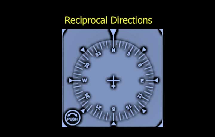
- Opposite directions are called Reciprocal Directions.
- The reciprocal of North is South, and the reciprocal of East is West.
- To calculate a reciprocal direction:
- Add 180° if the direction is less than 180°.
- Subtract 180° if the direction is greater than 180°.