Augmented GPS Systems like GBAS, ABAS and SBAS
Augmented GPS systems improve the accuracy, integrity, availability, and reliability of standard GPS signals. They correct errors caused by atmospheric delays, satellite clock inaccuracies, and orbital errors using ground and/or satellite-based corrections. In aviation, augmentation systems enable safer navigation and support precision approach and landing operations.
Augmented GPS (Differential GPS)
- Augmented GPS, also known as Differential GPS (DGPS), improves GPS accuracy.
- It enables GPS to support precision approach operations.
- The system also provides integrity monitoring and warns pilots of GPS failures.
- The three augmentation systems are:
- Ground Based Augmentation System (GBAS) or Local Area Augmentation System (LAAS).
- Air Based Augmentation System (ABAS) using Receiver Autonomous Integrity Monitoring (RAIM).
- Satellite Based Augmentation System (SBAS) or Wide Area Augmentation System (WAAS).
Ground Based Augmentation System (GBAS)
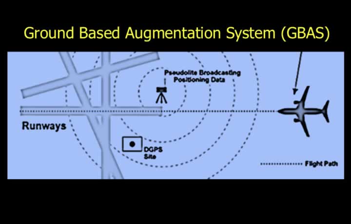
- GBAS provides precision approach guidance for a specific runway.
- It is also known as the Local Area Augmentation System (LAAS).
- The system uses ground transmitters called Pseudolites.
- GBAS corrects:
- Satellite ephemeris errors.
- Satellite clock errors.
- Tropospheric errors.
- Ionospheric errors.
Pseudolite
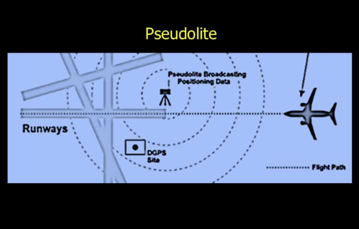
- A Pseudolite is installed at a precisely surveyed location near the runway.
- It functions as a reference GPS receiver.
- The system compares its known position with the GPS-computed position.
- The calculated correction is transmitted to approaching aircraft.
- The aircraft receiver processes the correction as though it originated from another satellite.
- GBAS improves navigation accuracy to approximately the standard of a CAT III C ILS.
Air Based Augmentation System (ABAS)
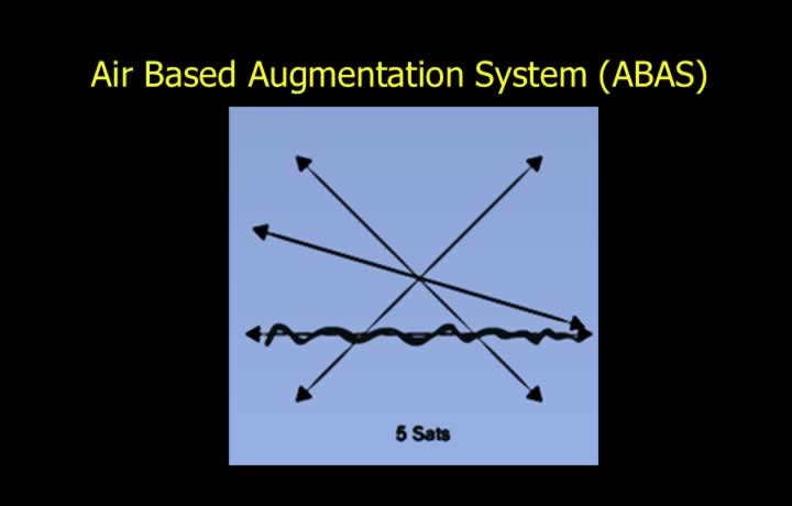
- ABAS uses Receiver Autonomous Integrity Monitoring (RAIM) within the aircraft receiver.
- The system requires a minimum of 6 satellites in view.
- RAIM calculates the aircraft position using five satellites instead of the normal four.
- The sixth satellite is used to identify and reject an inconsistent position measurement.
- The resulting position fix reduces the size of the cocked-hat and improves navigation accuracy.
Satellite Based Augmentation System (SBAS)
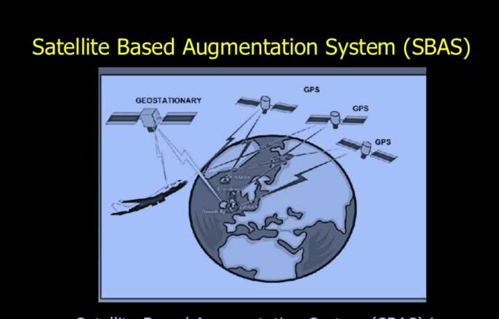
- SBAS is also known as the Wide Area Augmentation System (WAAS).
- Ground monitoring stations continuously monitor GPS satellite accuracy.
- Error correction information is transmitted to aircraft through geostationary satellites.
- The receiver applies these corrections to improve GPS position accuracy.
- A single SBAS network provides coverage over a very large geographical area.
Examples of SBAS
- EGNOS – Europe.
- MSAS – Japan.
- GAGAN – India.